Exploring The Long Mynd
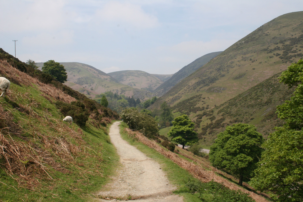
The Long Mynd takes its name from the Welsh for ‘Long Mountain’ is a series of hills in Shropshire. It is approximately 10 miles from north to south and 4 miles across and features some of the most beautiful, quintessentially English countryside. The hill plateau is carved up by dramatic valleys, the most famous of which is the Cardingmill Valley, which runs through the edge Church Stretton. The Holt sits at the top of one section of this beautiful valley.
The Long Mynd is an Area of Outstanding Natural Beauty and most of the Long Mynd is managed by The National Trust.
The landscape is characterised by deep valleys (called hollows and batches) and hills covered in heather and bilberries, giving the purple-blue hue of Housman’s blue remembered hills. There are many bronze age barrows and dykes to find on your walks on the Mynd, and from the tops of most of the hills you can see for many miles – as far as Cheshire in the north and the Cambrian mountains in Wales to the west. Wikipedia has a list of the valleys, hollows and batches you can find on your walks here.
Shropshire is built on rocks from 11 out of the 13 known periods of geology – the smallest area in the world to boast so many. For more details about the local geology, visit The British Geological Survey's guide to the Welsh borderlands.

The Long Mynd is perfect for walking holidays. For more details about walking routes in the area, visit The Great Outdoors Shropshire Walking Search Page, or there are other walks if you go to this page on Walking Britain and enter Church Stretton into the search bar.
The area is also popular with cyclists. Here are a couple of routes to get you started:
22 mile mountain bike route with 423 feet elevation
19 mile route mostly on stone paths suitable for most bikes
There are plenty more tried and tested routes for cycling at The Great Outdoors Shropshire Cycle Route Search Page.

If you want to get organised in advance and order some maps to check out your routes, you can find lots of routes here with printer friendly maps and instructions and suggestions of OS maps to buy.
Inside the house we provide lots of printouts of local walks and cycle routes for you to get exploring. We also provide picnic equipment, bike maintenance equipment and contacts for local transport and other services which can help you get around.
There are several shops in and around Church Stretton selling equipment for outdoor pursuits, including the Outdoor Depot. The local tourist information centre has loads of walks, cycle routes and maps, both free and to purchase, as well as great guide books and a wealth of local knowledge. Information on how to get to the Centre is in the Guest Information folder.
When you turn right out of the drive, and cross the cattle grid, you can choose to walk up the left fork on to the hills, or down the right fork to Cardingmill Valley, the brook and the National Trust cafe. There are some circular walks marked out on signs there. You can also turn sharp left after the cattle grid and walk through Rectory Woods down into the town.
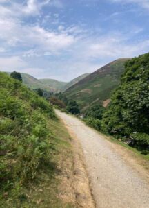
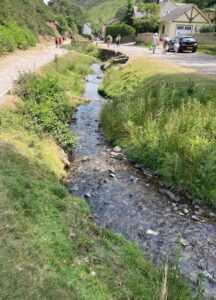
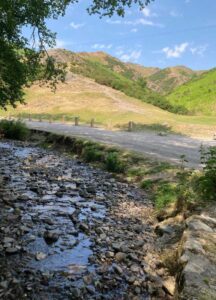
These images are all taken within a five minute walk of The Holt, to give you a taste for what's on the doorstep.


